X

category: aerial view

14 entries, displaying 6 to 10

<   1 2 3   >

published on 2016-01-30

categories: aerial view

published on 2016-01-30

categories: aerial view

published on 2016-01-30

categories: aerial view

keywords: twilight | dusk

published on 2016-01-30

categories: aerial view

STR-HAM-STR 2015-03-03

Views from a flight from Stuttgart to Hamburg and back.

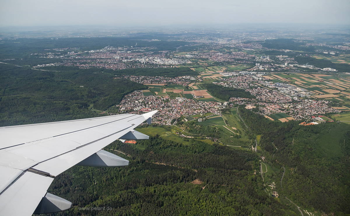
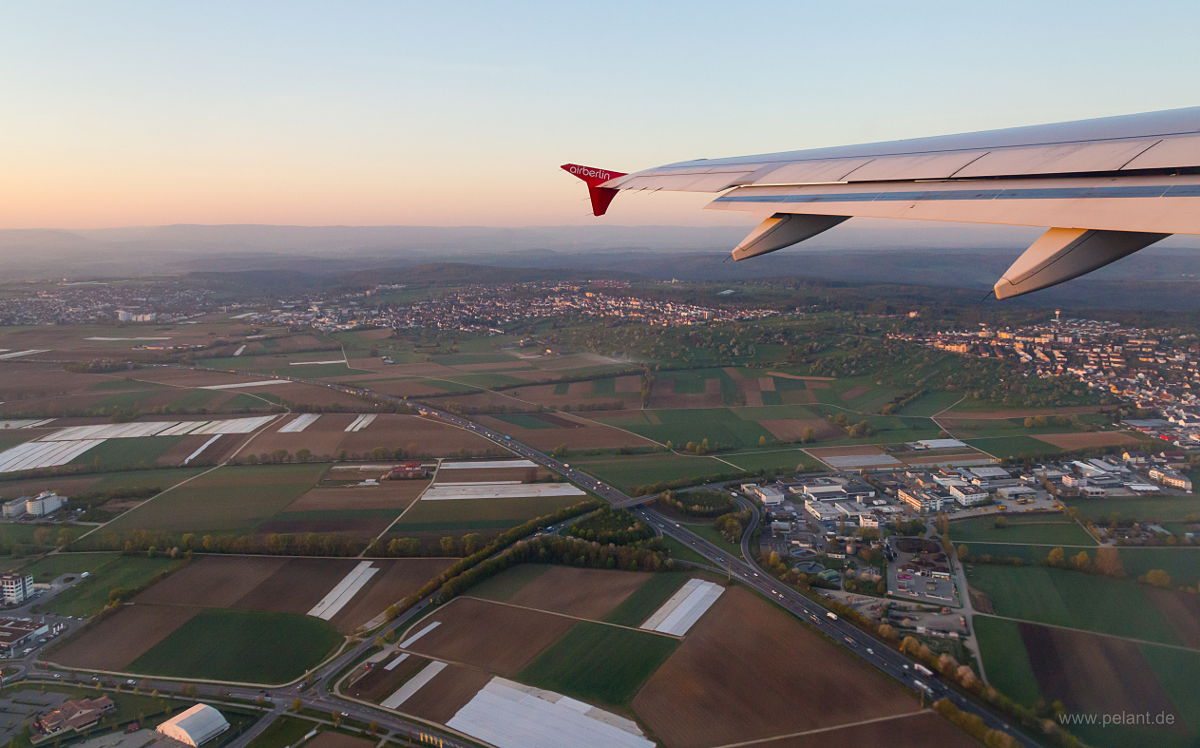
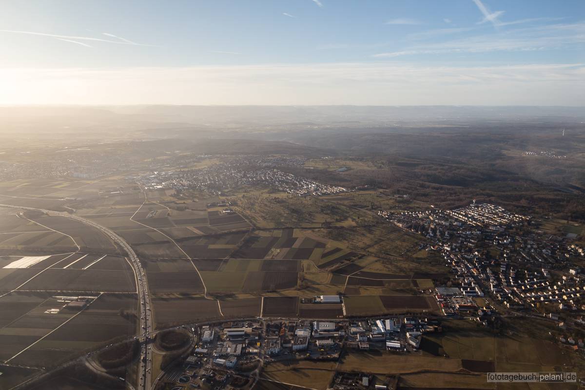
aerial view of the Filder with the villages of Stetten, Plattenhardt und Bonlanden

labels ON labels OFF There are different variants of this image. Move the cursor over the correspondent boxes to display them.Aerial view of the Filder with the boroughs of Stetten, Plattenhardt and Bonlanden shortly after takeoff.

[View all] - more pictures to see...

published on 2015-03-31

categories: aerial view

<   1 2 3   >

change symbol

The following area of the page contains elements necessary to display enlarged images (lightboxes) and should NOT be visible. If you can read this, either the corresponding stylesheet file (css) hasn't finished loading yet or your browser is outdated or misconfigured.
View of Musberg, Leinfelden, Oberaichen and Stuttgart-Vaihingen

<>X

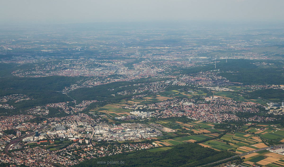
View of Stuttgart from South

<>X

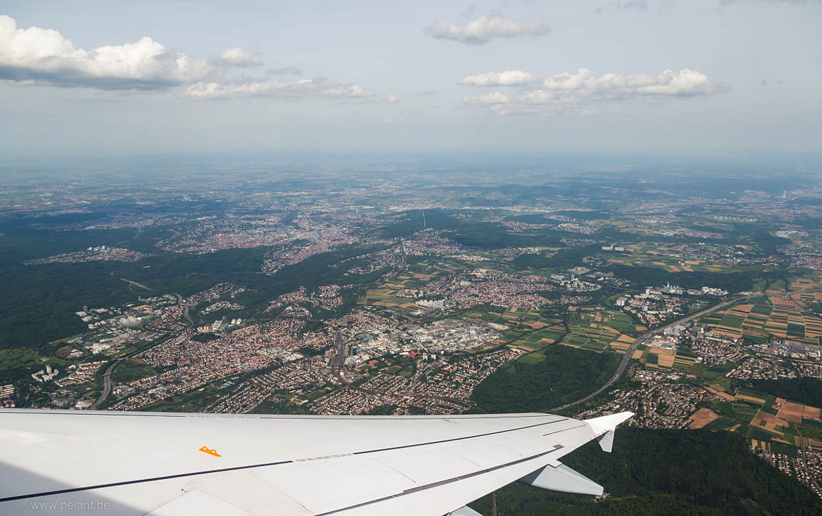
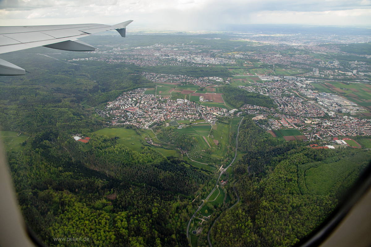
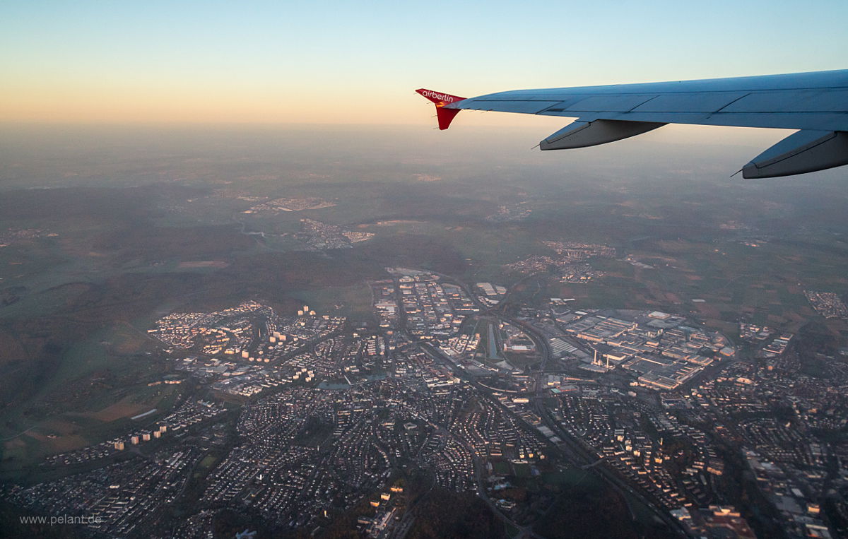
view of Stuttgart with Vaihingen above the wing
<>X

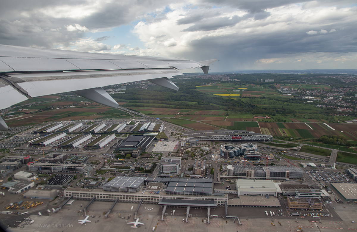
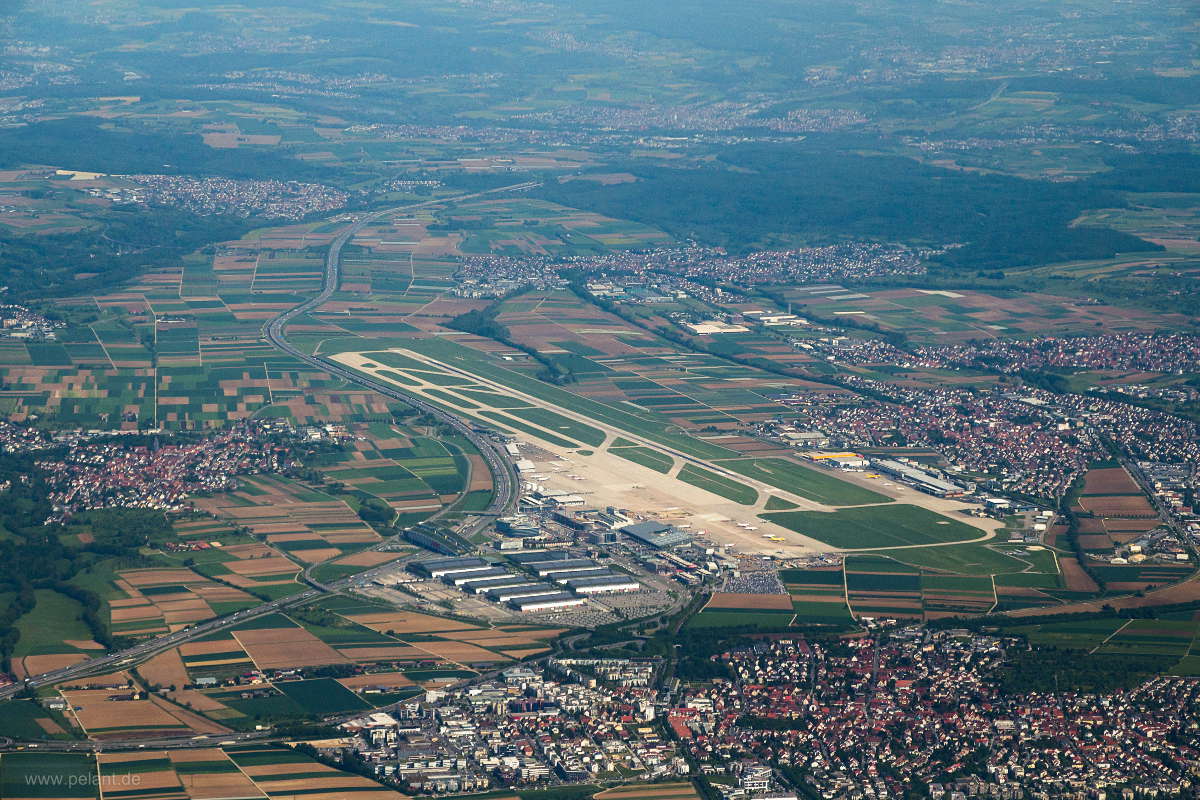
Aerial view of Stuttgart airport

<>X

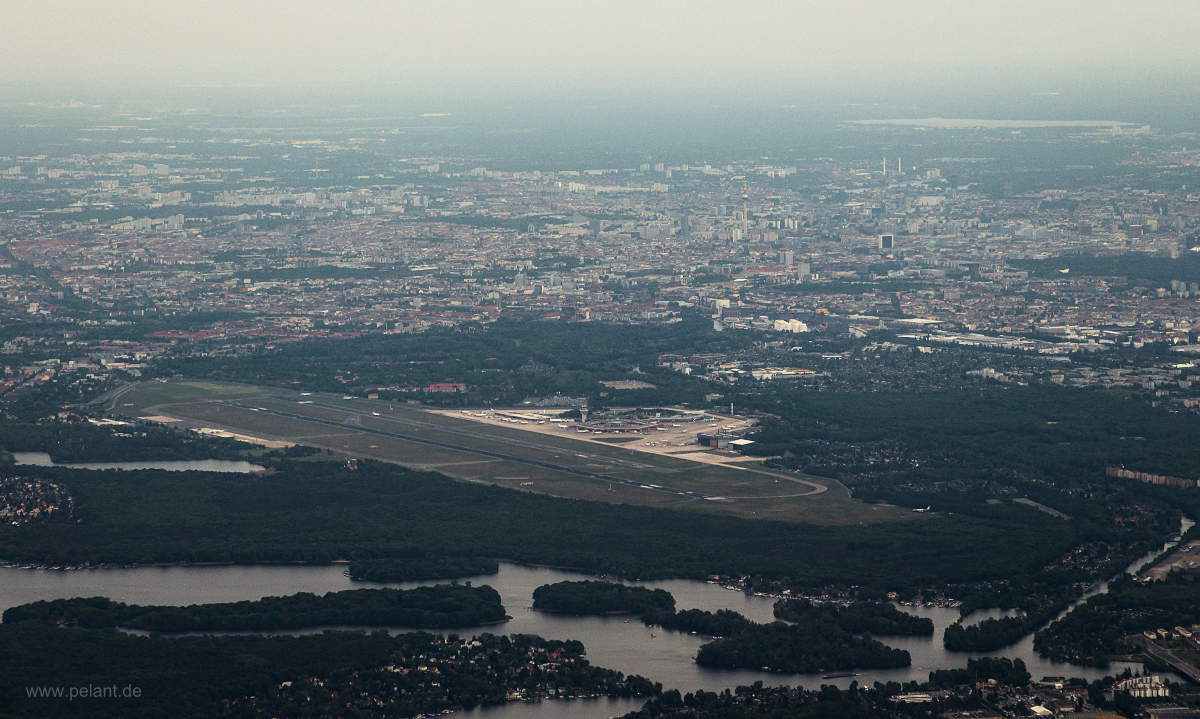
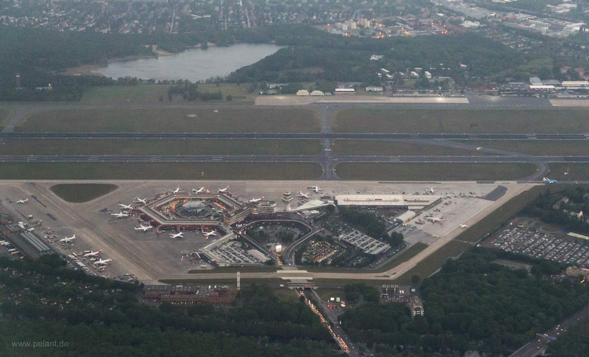
View of Berlin-Tegel airport and the city of Berlin

<>X

Berlin-Tegel airport, aerial view (TXL)

<>X

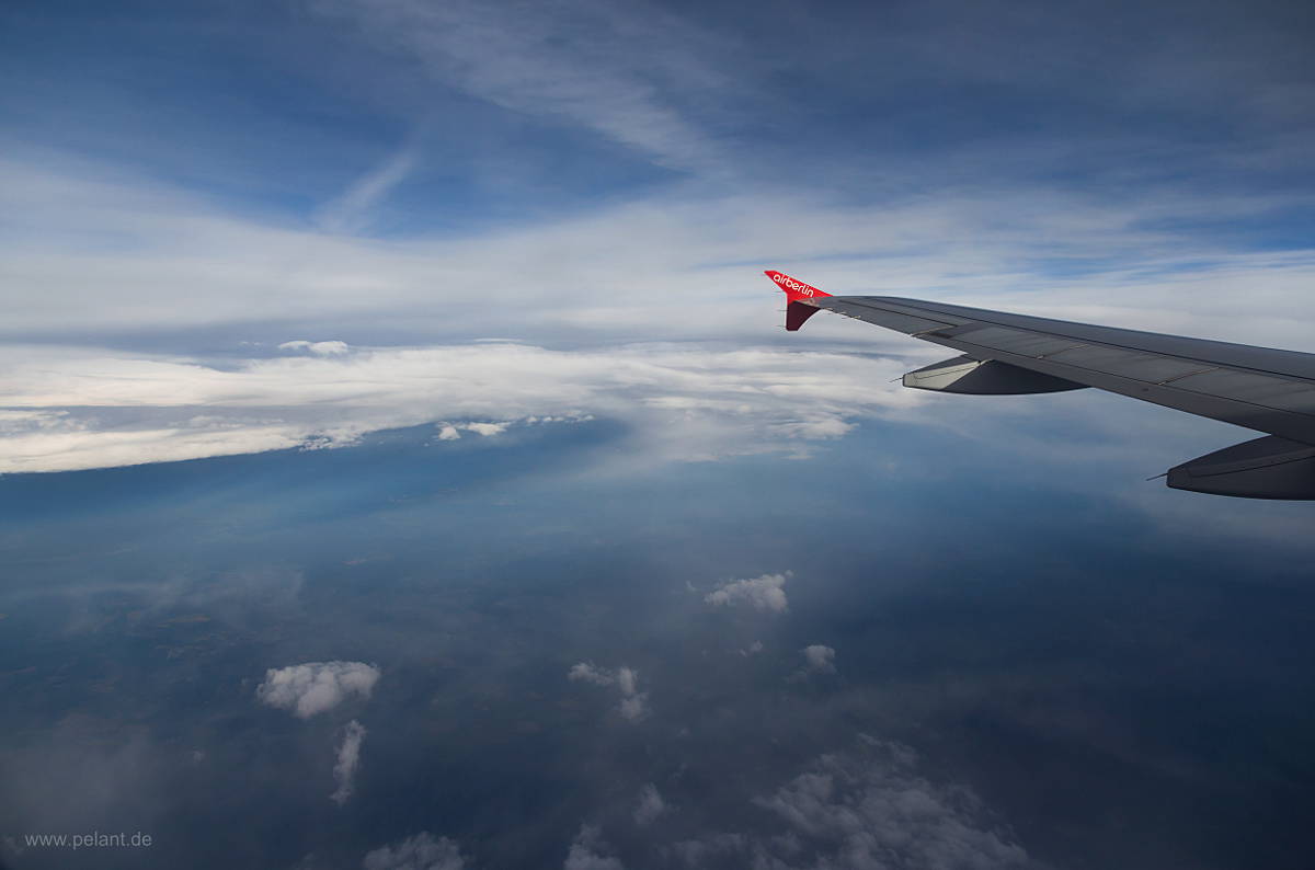
cold front

<>X

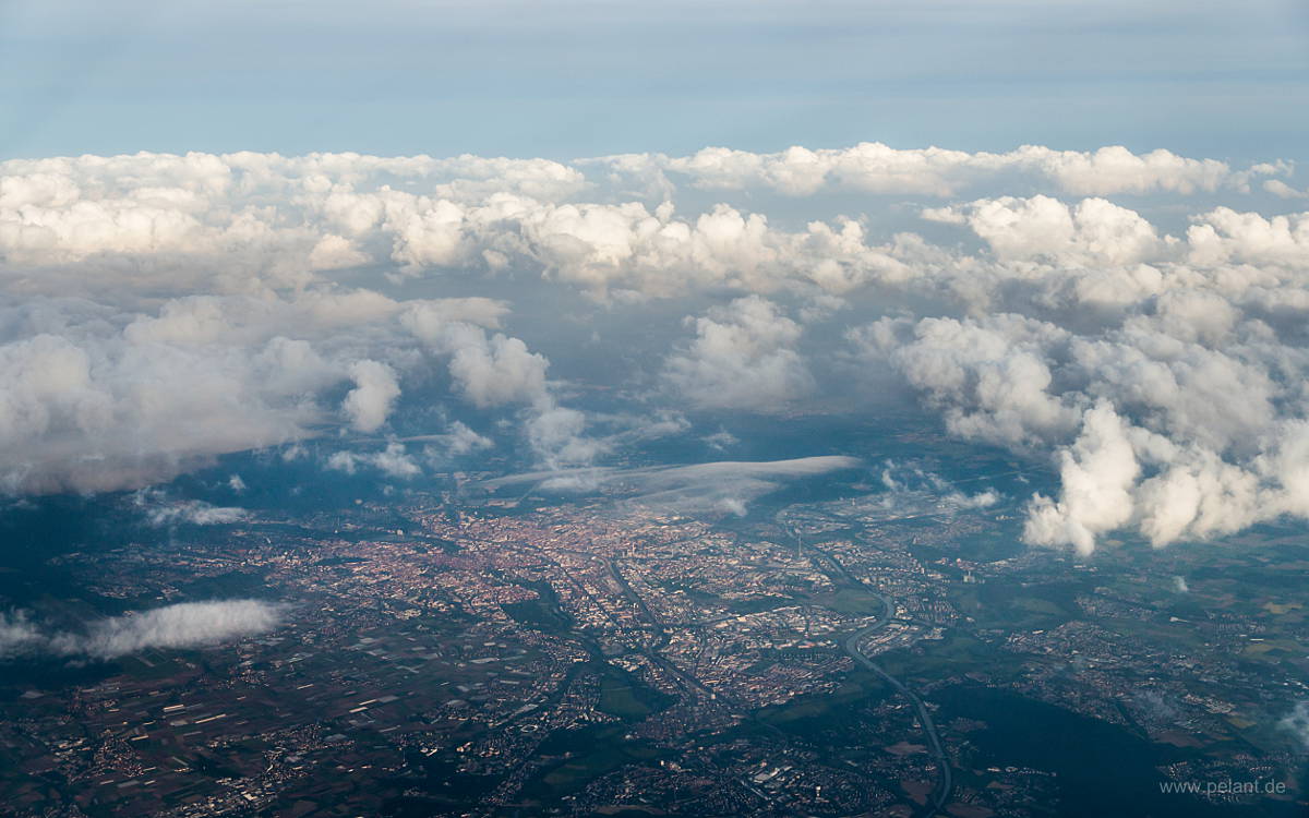
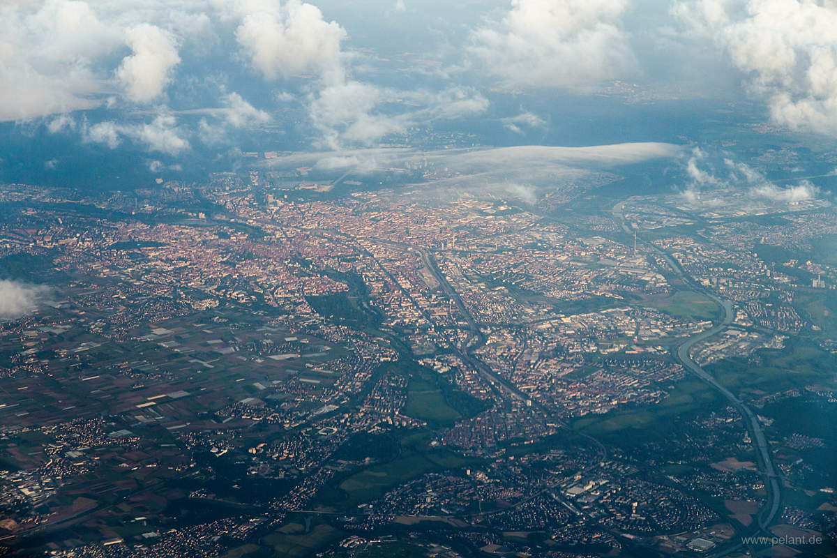
Aerial view of the city of Nuremberg

<>X

Aerial view of the city of Nuremberg

<>X

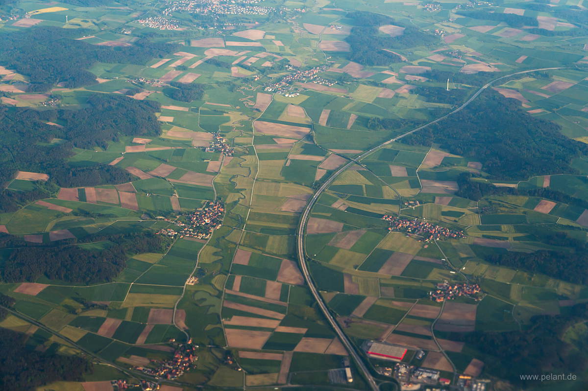
Aerial view of A7 near Feuchtwangen

<>X

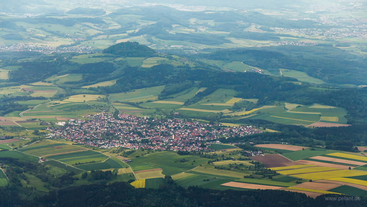
Aerial view of Wäschenbeuren and Hohenstaufen mountain

<>X

Aerial view of Stuttgart airport and trade fair centre

<>X

Aerial view of Musberg and Leinfelden

<>X

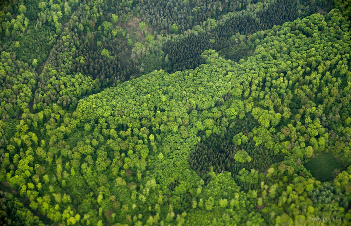
Aerial view of freshly green forest in spring

<>X

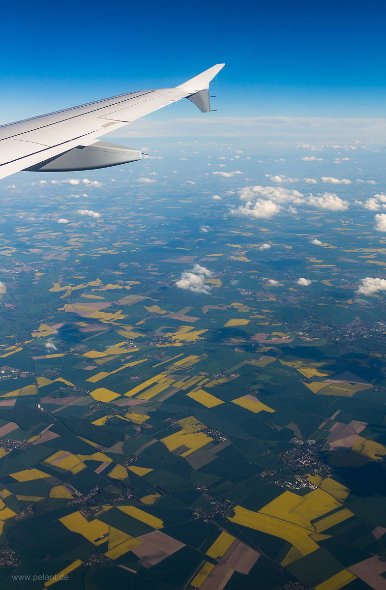
Aerial view of flowering rapeseed fields

<>X

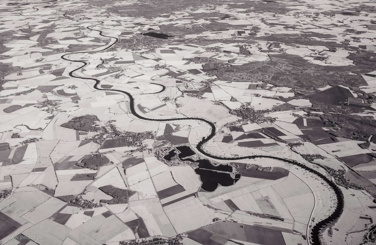
Aerial view in infrared: Elbe river near Torgau, Saxony

<>X

above the clouds in infrared

<>X

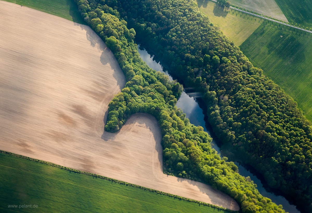
Aerial view of fields and forest

<>X

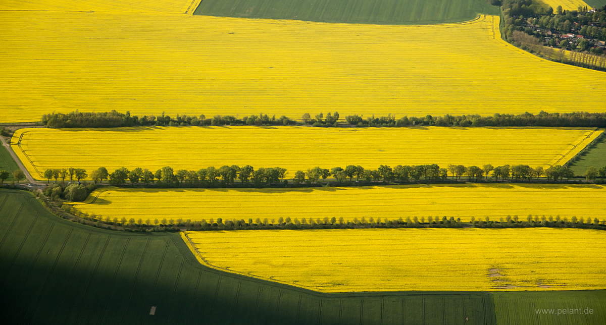
Aerial view of yellow rapeseed fields

<>X

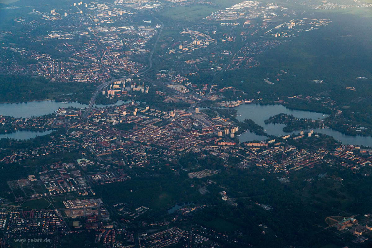
Aerial view of Potsdam

<>X

afterglow

<>X

clouds

<>X

clouds

<>X

sunrise over the Elbe river, aerial

<>X

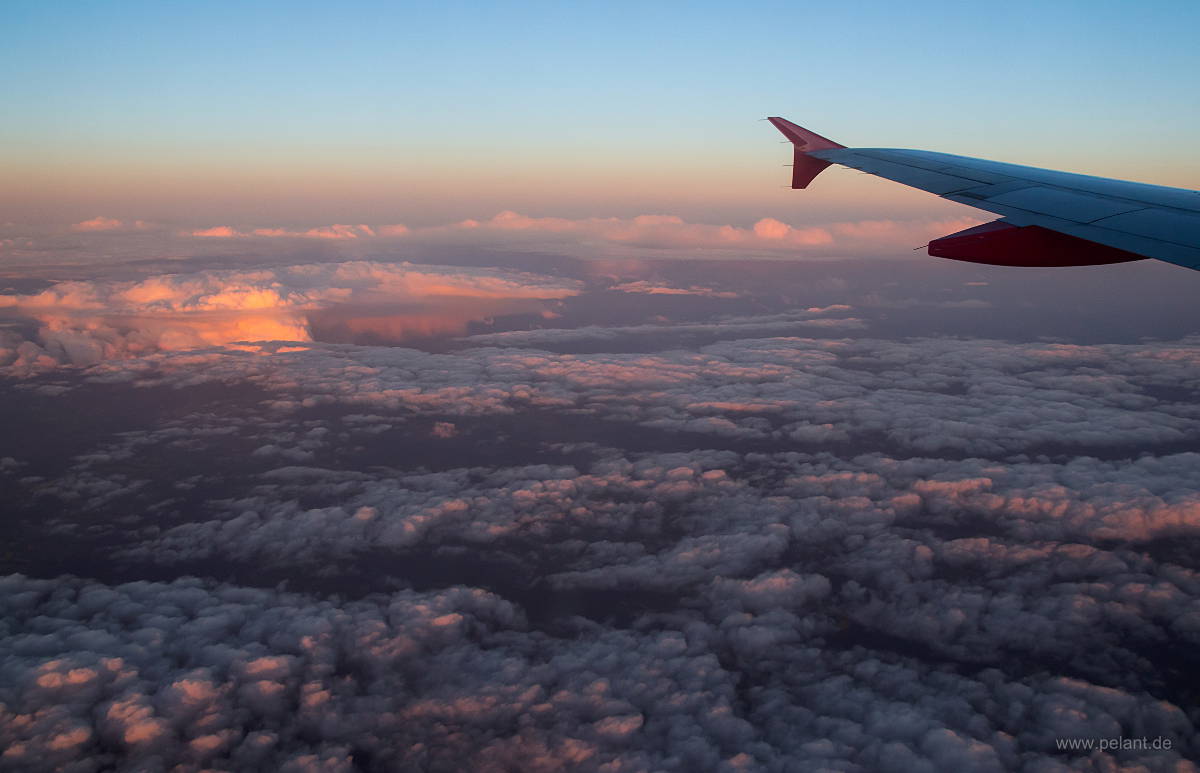
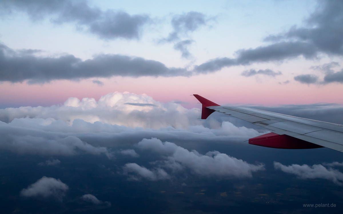
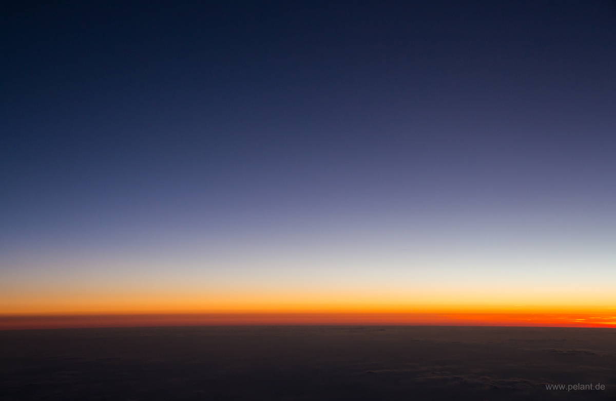
twilight above the clouds (view from aeroplane)

<>X

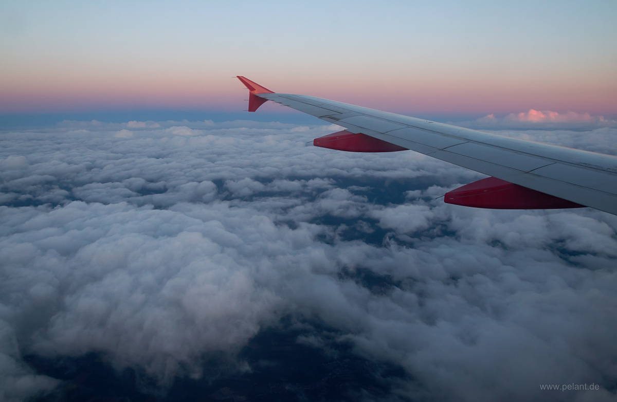
dusk above the clouds (view from aeroplane)

<>X

moon and venus (right) at dusk above the clouds (view from aeroplane)

<>X

view of B27, Stetten and Plattenhardt during takeoff from STR runway 25

<>X

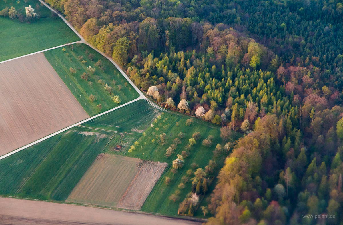
aerial view of flowering fruit trees at the edge of the forest in spring

<>X

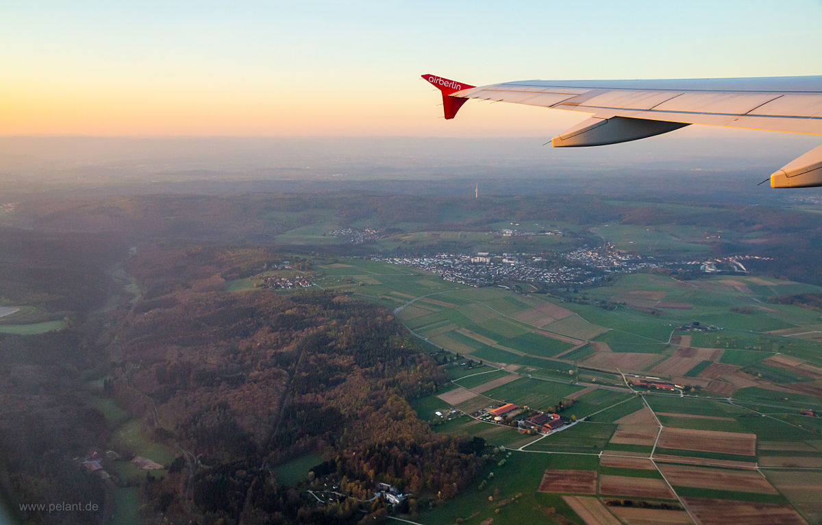
aerial view of the Siebenmühlental and the town of Waldenbuch

<>X

aerial view of Böblingen, Sindelfingen and Mercedes-Benz Sindelfingen Plant

<>X

aerial view of the Filder with the villages of Stetten, Plattenhardt und Bonlanden

<>X