category: travel
24 entries, displaying 1 to 5
Aerial views of the Alps mountains, again 2012-02-29
In addition to the aerial views of the Alps mountains from the flight from Zürich to Sion, I sorted and processed some older views of the Alps from the plane.
Departures or landings in Milan have good chances to catch nice views:
DL161, 2012-02-20
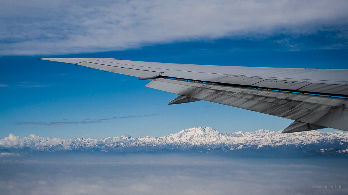



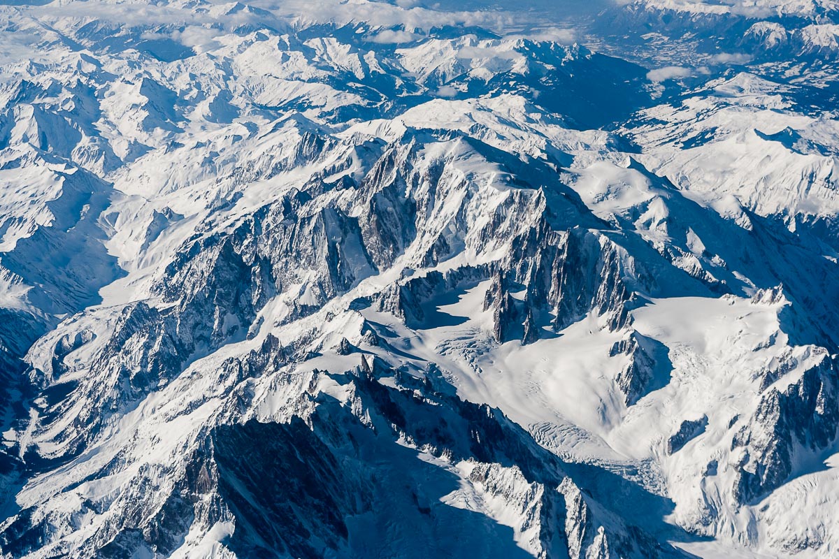
AZ605, 2012-02-29

[View all] - more pictures to see...
ZRH-SIR-ZRH: day trip to Valais with views of the snow-covered Alps 2017-02-11
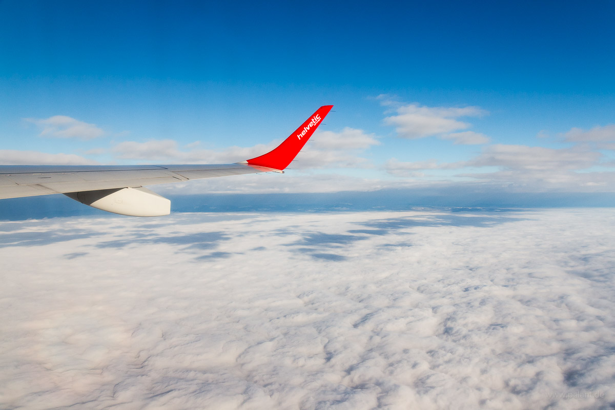
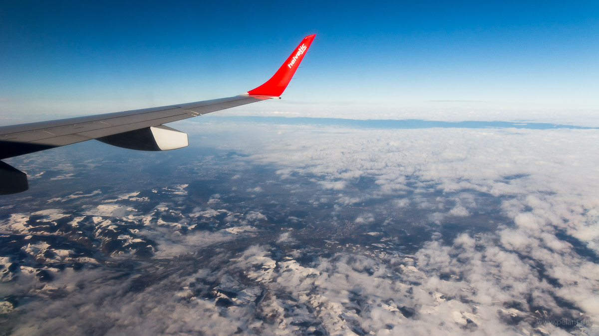
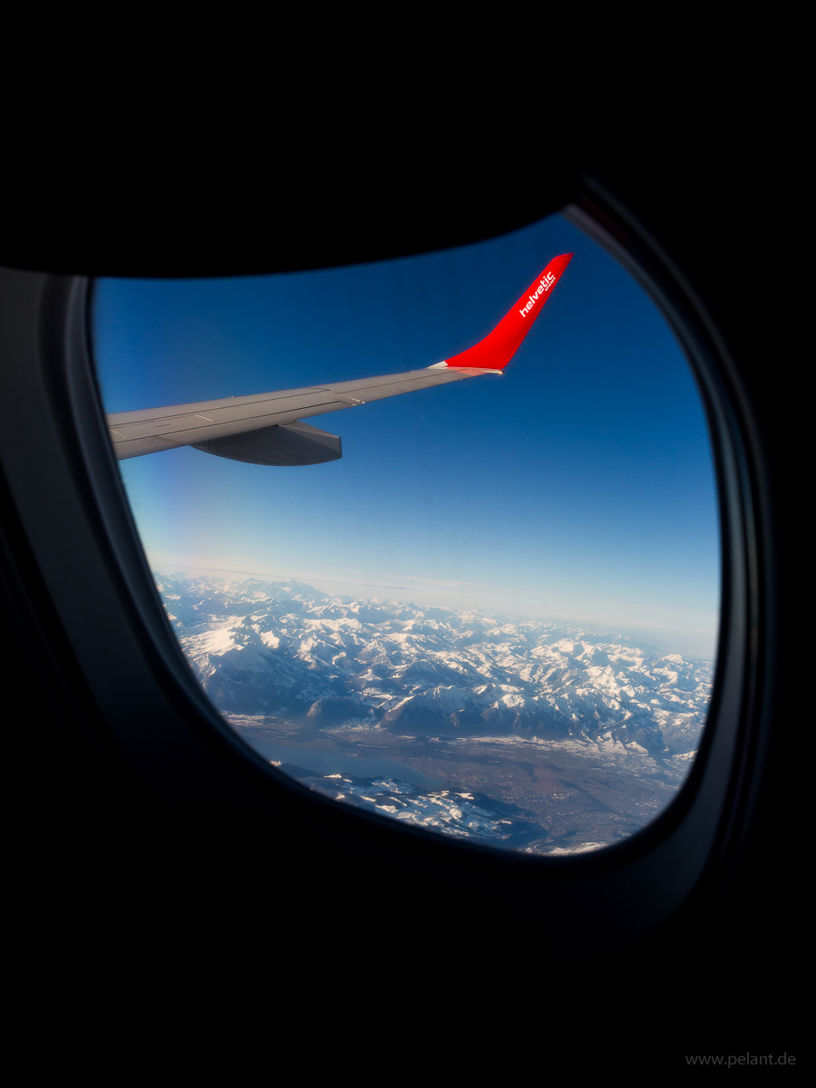
In August 2016, Swiss announced that the route Sion (SIR) – London (first planned LCY, later switched to LHR) would be operated on the four Saturdays in February 2017 by Helvetic Airways Embraer 190 to connect the winter sports regions around Sion directly to England. The positioning flights between Zürich and Sion were also bookable. SIR is a quite small airport with only 24.000 passengers annually (2014) and hard to reach by sheduled flights, even harder that convenient as a day trip. I didn't have to think for a long time and quickly booked STR-ZRH-SIR-ZRH-STR looking forward to enjoying freat views of the Alps mountains in winter – and I did not get disappointed.
ZRH – SIR (outbound)
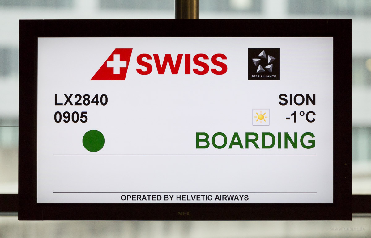
LX2840 operated by Helvetic Airways Embraer 190 HB-JVO
9:16 (STD 9:05) – 9:52 (STA 9:50) – flight time 36 min
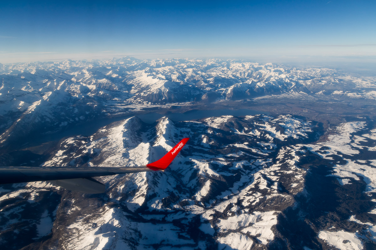
Departure on RWY 28, heading westwards until Aarau, then turning left heading to the Thunersee. After 9 min the cruising altitude of 19.000 ft was reached. A short left-/right turn with views of the Thunersee. Left turn over Eiger/Mönch mountains, briefly heading towards northeast, followed by a approx. 180° right turn over Grimselpass/Obergoms to align with the Rhone valley. Descending along the Rhone valley between the summits to land on SIR RWY 25.
View of Lake Thun (bottom left)
[View all] - more pictures to see...
published on 2018-02-25
location: Europe > Switzerland > Valais > Sion District > Sion
categories: aerial view | travel
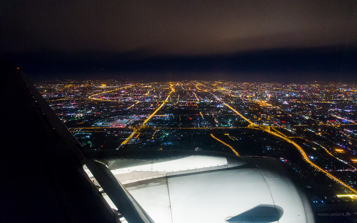
aerial view of Beijing at night 2016-11-21
labels ON labels OFF
Beijing at night
View of Beijing's centre during final approach to the Capital International Airport from South.
The two roads leading into the image are the Jingha Expwy. (京哈高速) with the southern second ring road in its extension (left) and the Guang'an Av. (广安街, right).
Above the enging is the fifth ring road. The southeastern edge of the forth ring road can be recognized in the left part of the image.
The Temple of Heaven and the Forbidden City are noticeable in the center as black areas, with the Tian'anmen Square in between (see labels).
[View all] - more pictures to see...
published on 2018-01-03
location: Asia > People's Republic of China > Beijing
categories: aerial view | travel
scenic flight over the island of Rügen 2015-09-19
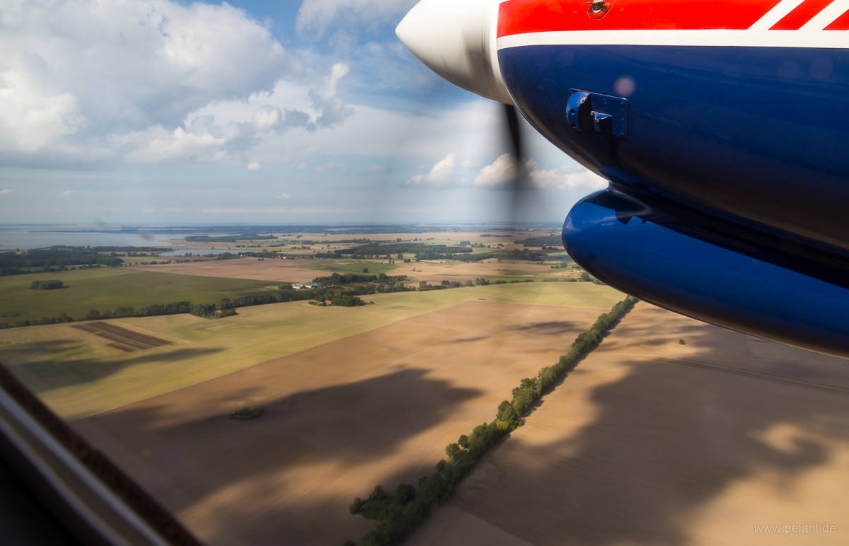
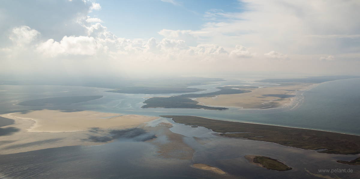
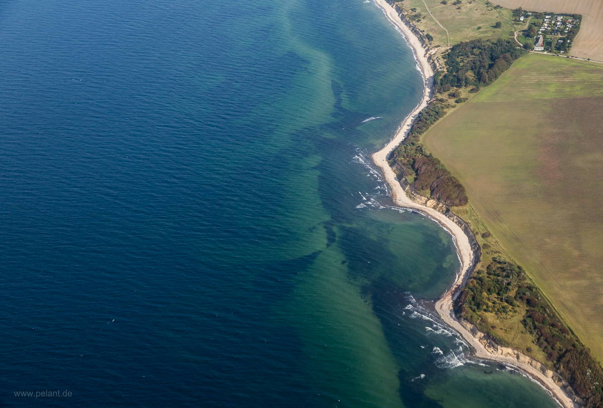
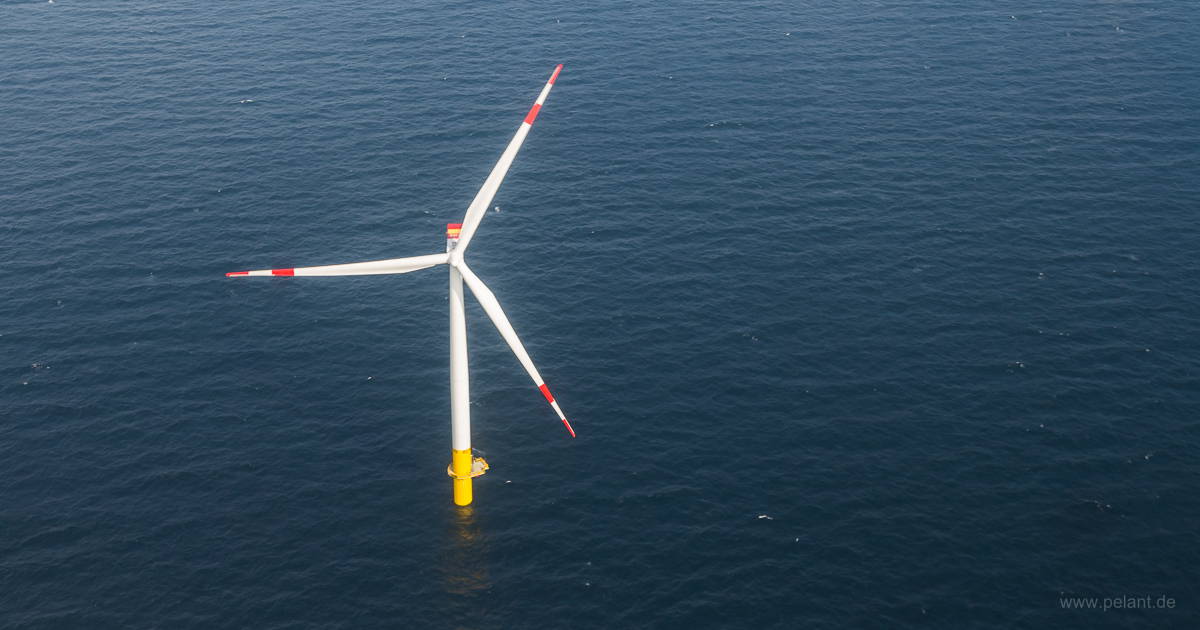
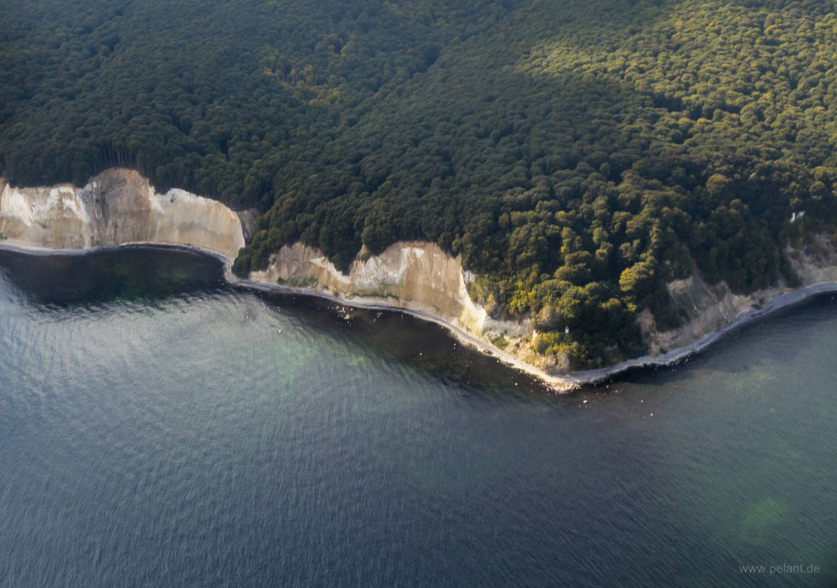
Rügen's chalk cliffs near Sassnitz
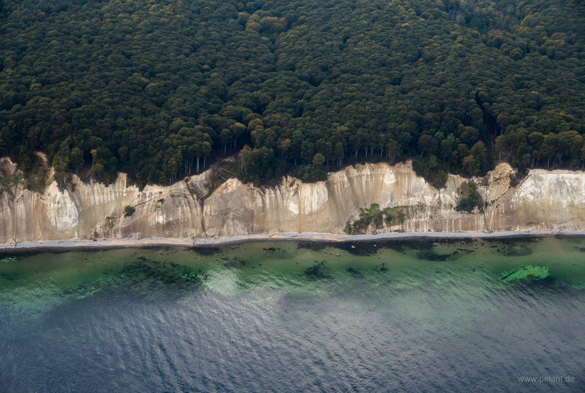
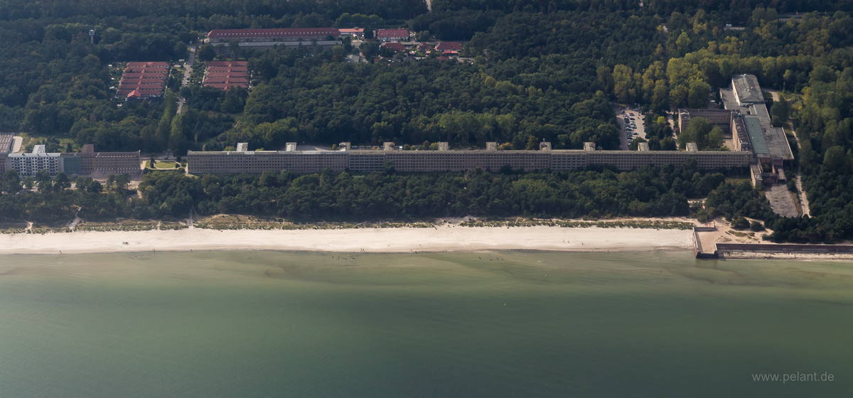
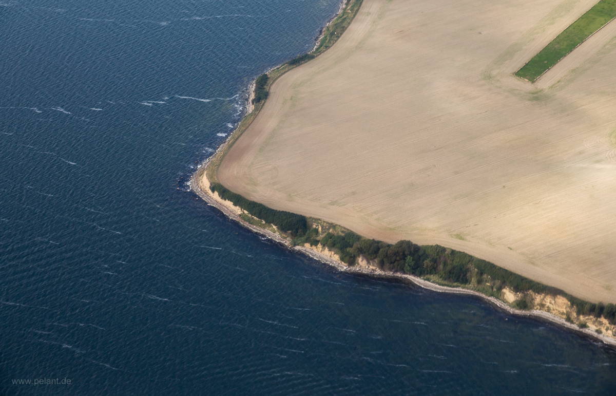
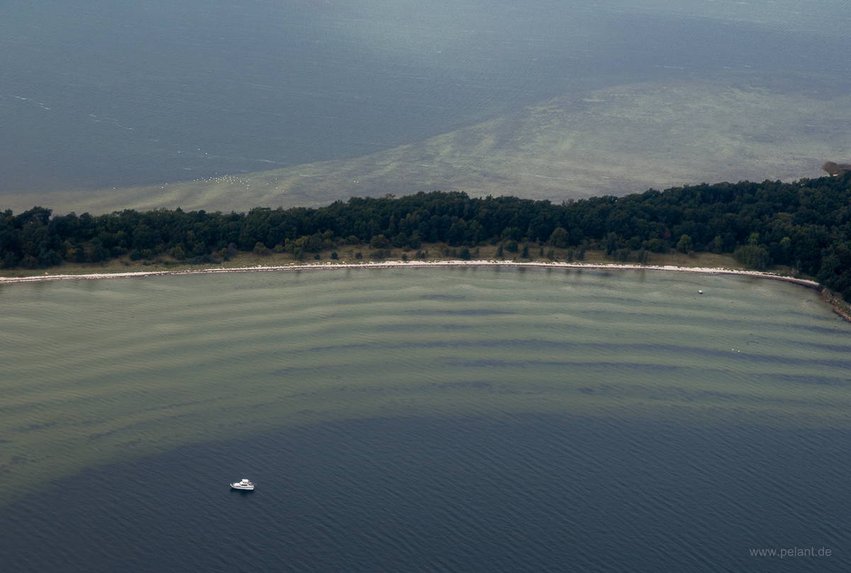
detail of Vilm island near Rügen
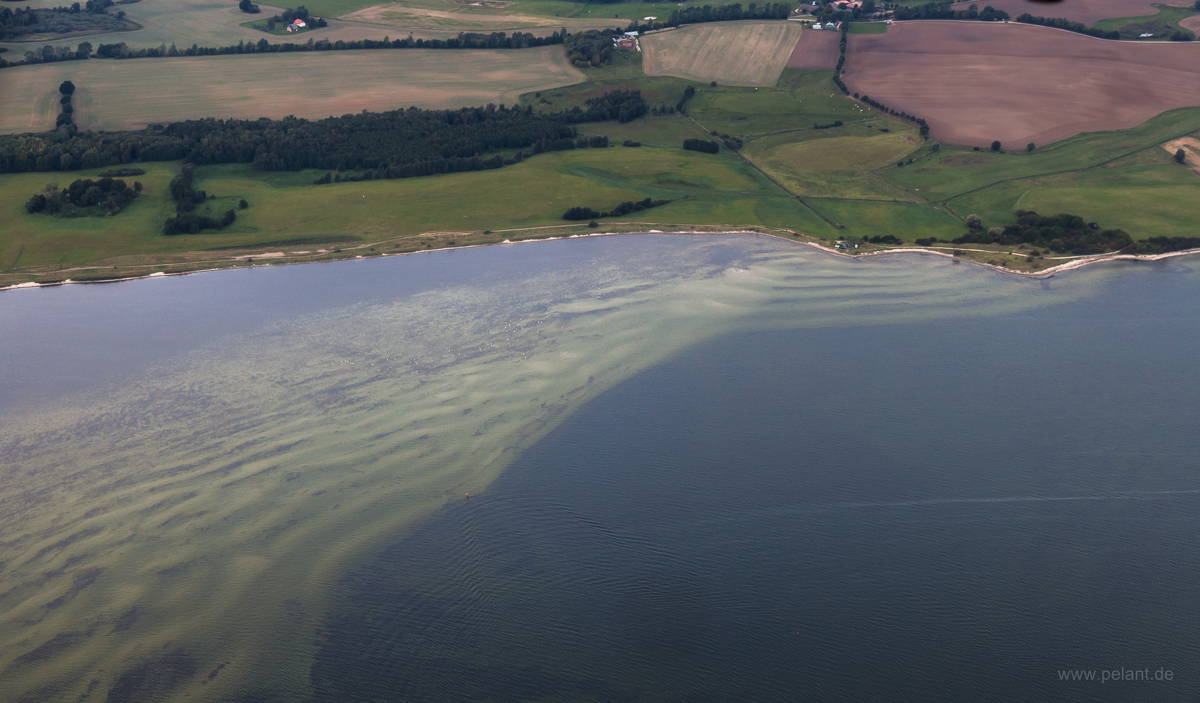
published on 2016-03-19
location: Europe > Germany > Mecklenburg-Vorpommern > Vorpommern-Rügen District
categories: aerial view | travel
keywords: Rügen | cliff | coast | baltic sea | chalk cliffs
published on 2015-03-07
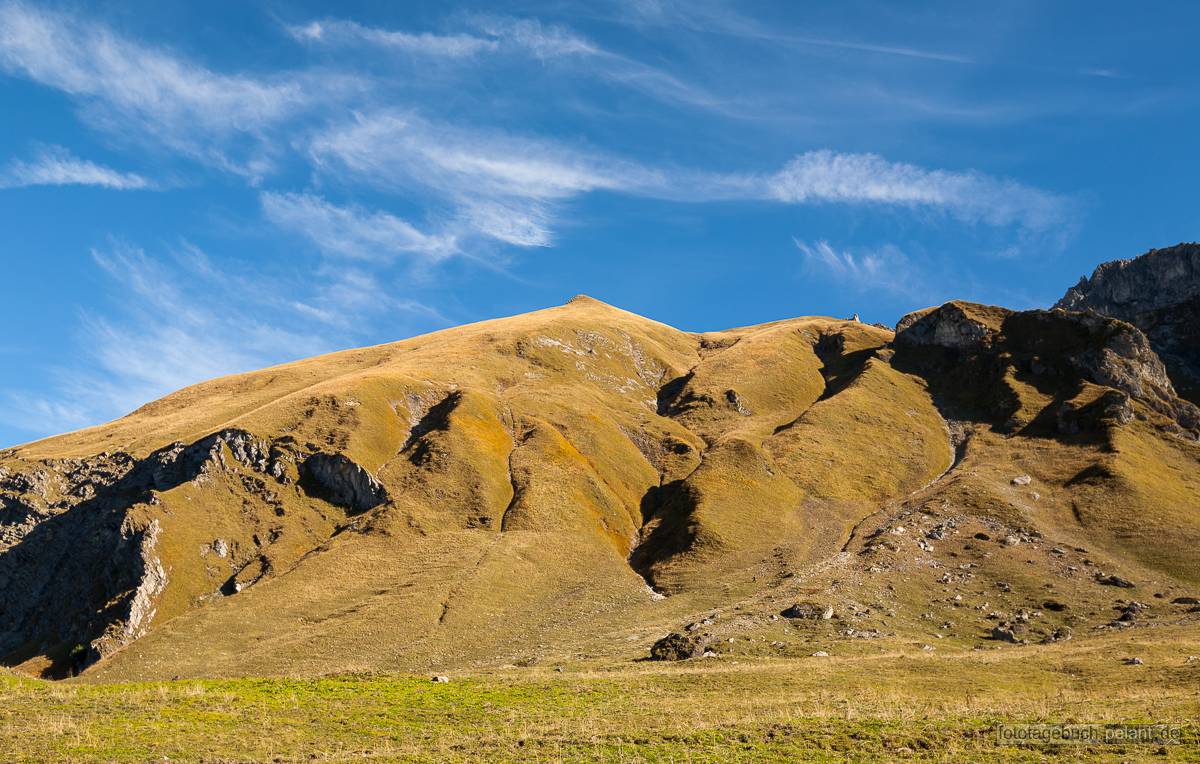
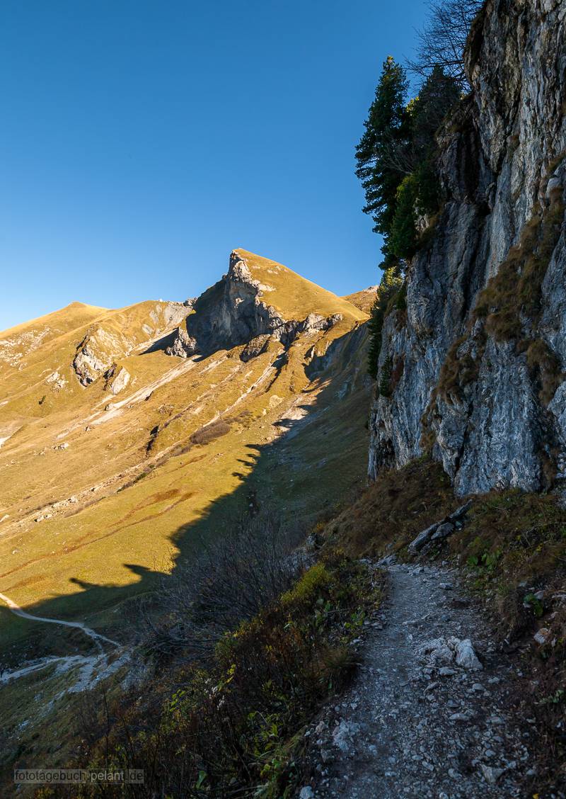
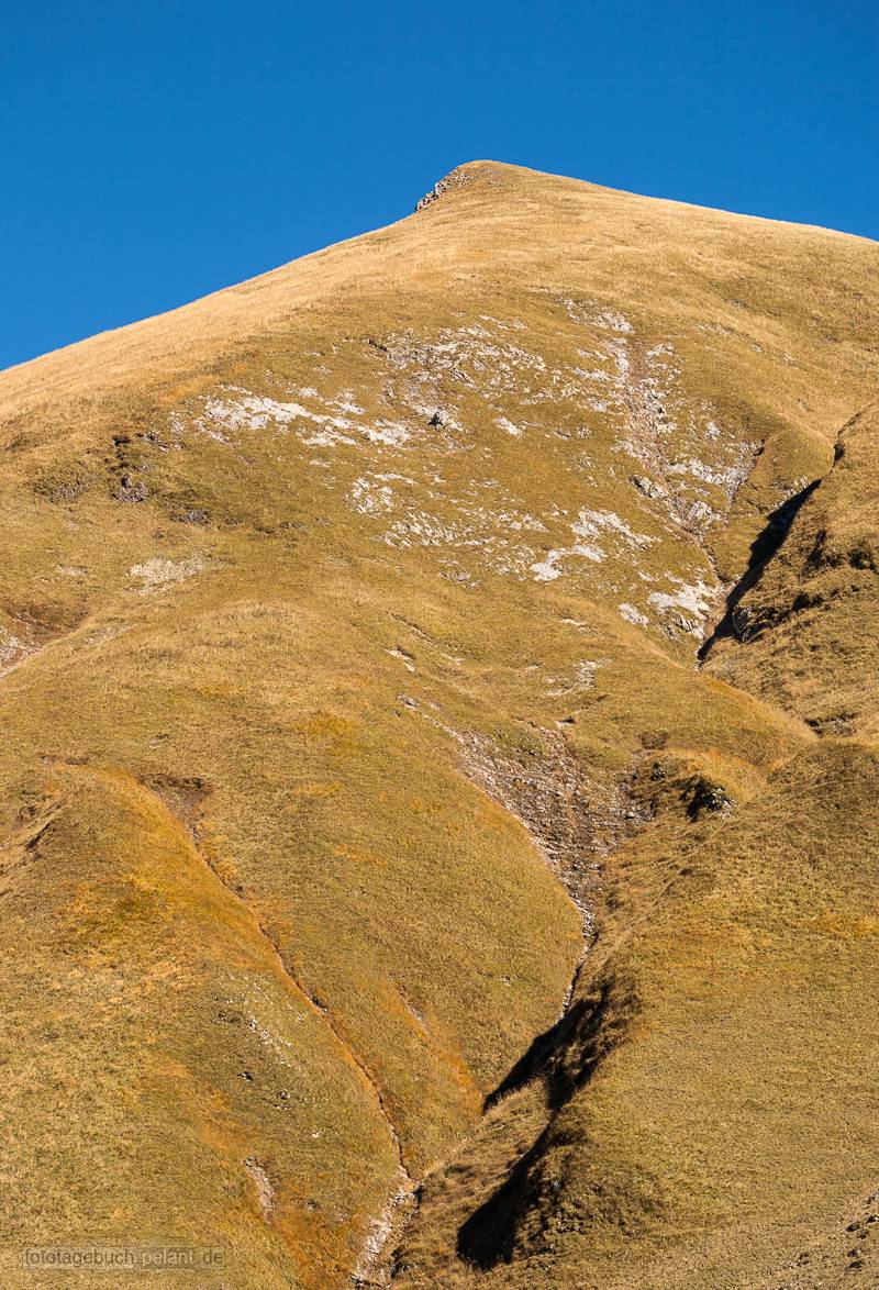
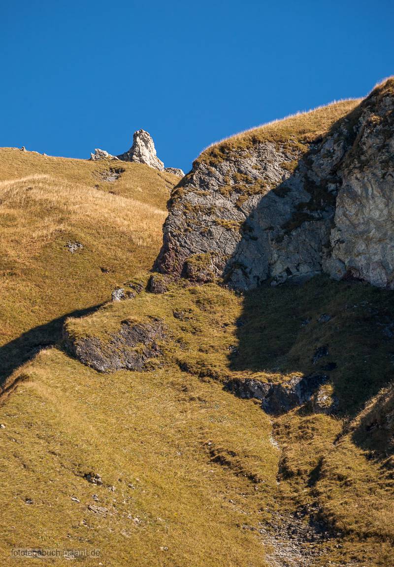
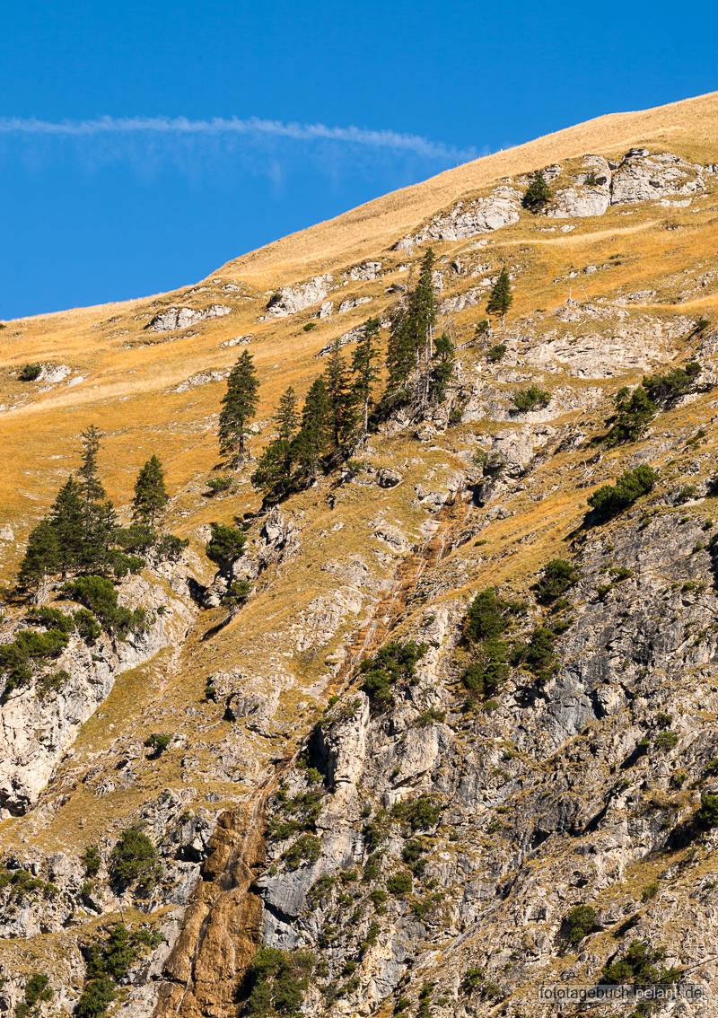
location: Europe > Austria > Tyrol > Reutte District > Tannheim
Season: autumn
Alps > Eastern Alps > Northern Limestone Alps > Allgäu Alps > Vilsalpseeberge

