Aerial views of the Alps mountains, again 2012-02-29

In addition to the aerial views of the Alps mountains from the flight from Zürich to Sion, I sorted and processed some older views of the Alps from the plane.

Departures or landings in Milan have good chances to catch nice views:

DL161, 2012-02-20
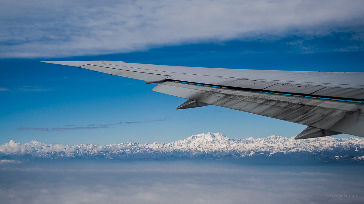
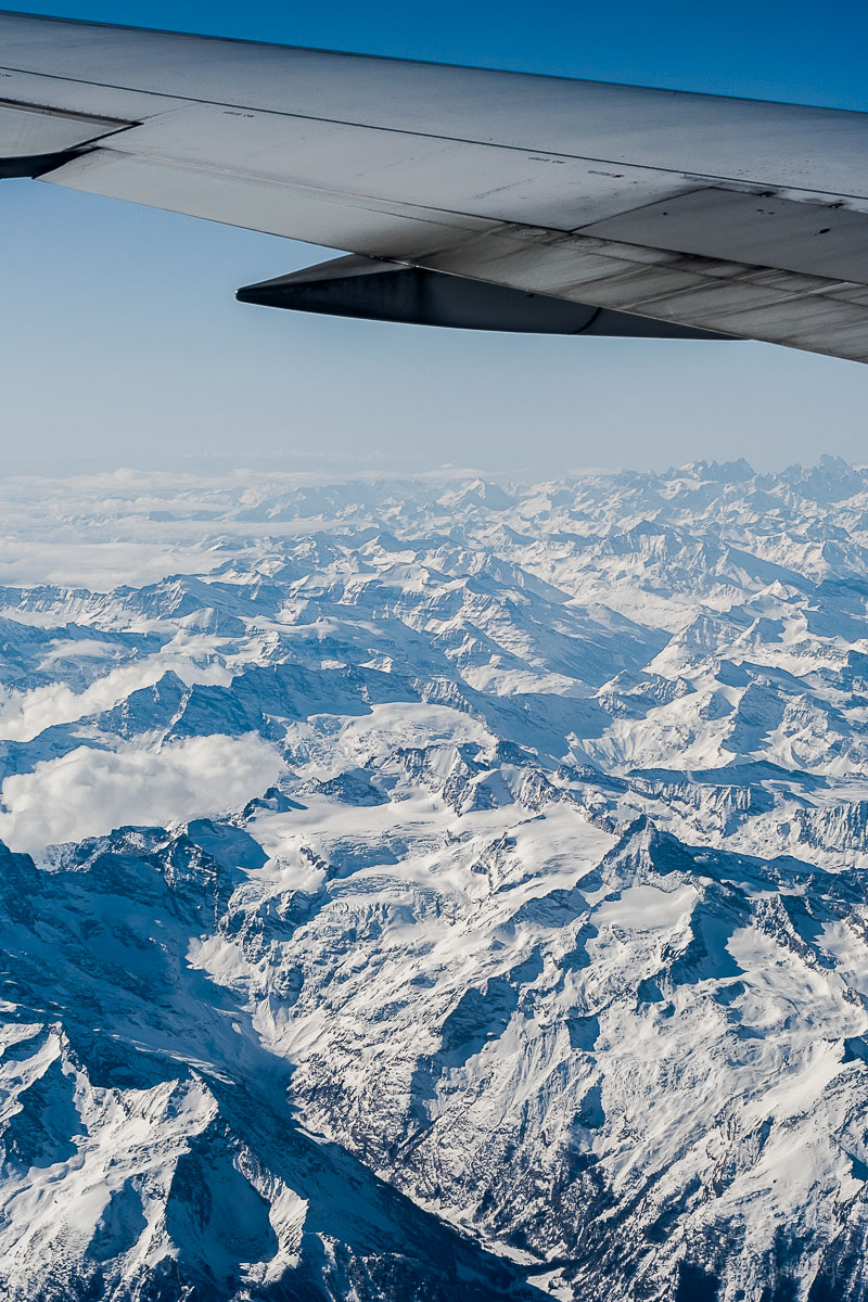
view from the plane of Alps mountains and Monte Rosa, with Boeing 767-400ER wing with raked wingtips

view of the Alps from South with the Monte Rosa under the wing pylon
View of the Alps from South shortly after departure from Milan Malpensa aboard DL161 bound for JFK. In the Boeing 767 family, the raked wingtips are only found on the 767-400ER which performed this flight. The Monte Rosa massif is under the outer wing pylon.

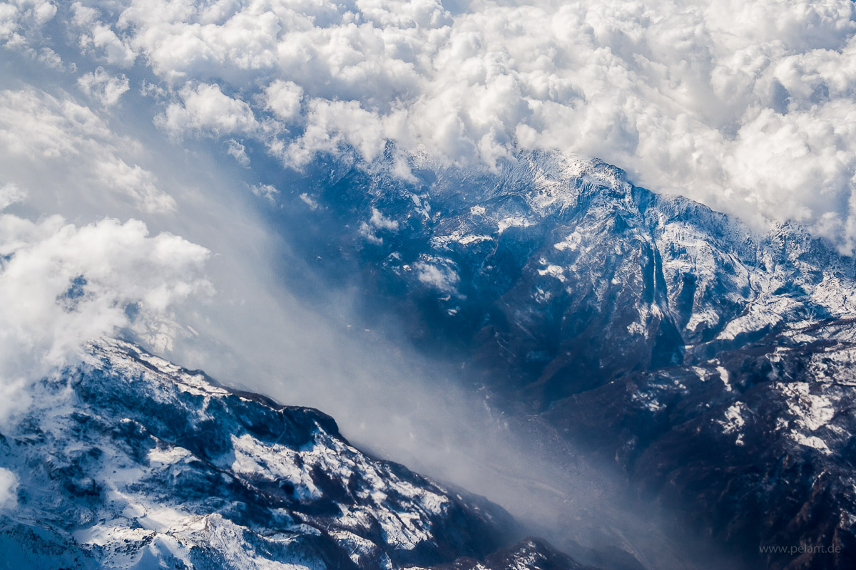
aerial view of a valley in the Alps mountains

valley in the Alps

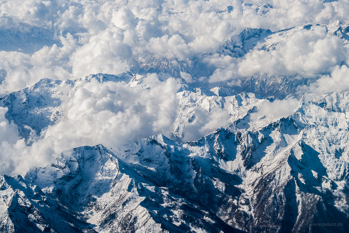
aerial view of the Alps mountains, snow covered summits with clouds

clouds around the summits

aerial view of the Alps

Alps

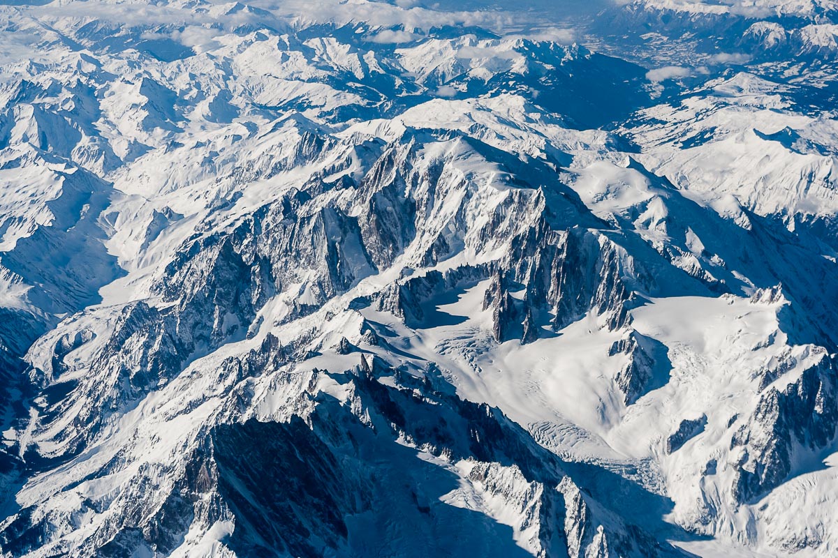
Aerial view of the Mont Blanc

Mont Blanc
Aerial view of the Mont Blanc, with 4810 m the highest mountain of the Alps, and - depending of the definition - of Europe.

AZ605, 2012-02-29

view from an airplane of the dawn with an A330 wing

dawn over France

Shortly after sunrise, Jura and then Alps mountains are reached:
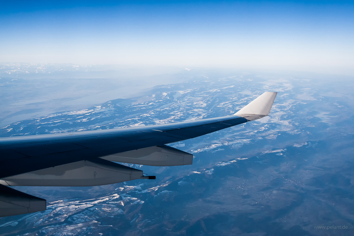
Aerial view with A330 wing of the <i>Jura</i> Mountains with Lake Bienne, Lake Morat, and Lake Neuchâtel over the wing to the left

labels ON labels OFF
View of the Jura Mountains with Lake Bienne, Lake Morat, and Lake Neuchâtel over the wing to the left
To the lower right the Ajoie, which is the landscape around Porrentruy (see labels; Canton of Jura, Swiss), 42 km to the southwest of Basel. Along the right edge of the image is France. Whereas the Ajoie belongs to the unfolded Table Jura, the folded Jura with its characteristic parallel mountain ridges and valleys begins directly behing it. Again behind it, Lake Bienne, Lake Morat, and Lake Neuchâtel. Lake Geneva, which is further away, is not directly visible, however, the haze above it is.
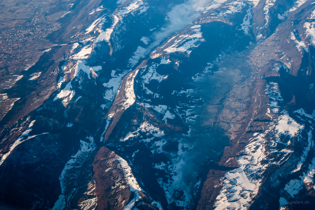
Aerial view of Jura Mountains between Grenchen and Moutier

Jura Mountains

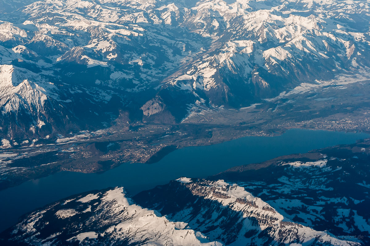
Aerial view of Lake Thun with Niederhorn and Sigriswilgrat

Lake Thun
Aerial view of Lake Thun from Northeast. In the foreground are the two mountain ridges with the Niederhorn (left) and the Sigriswilgrat. Behind Spiez at the opposite lake bank is the alpine valley Simmental. Parts of Thun which is situated at the northern end of the lake are seen at the right edge of the image.

Aerial view of Dreispitz and Schwalmere mountains of the Bernese Alps

Zoom IN Zoom OUT labels ON
Dreispitz (2520 m, right) and Schwalmere (2777 m, left) of the Bernese Alps

Could be mistaken for the Matterhorn (the „Toblerone Mountain“), however, it is the Eiger of the Bernese Alps:

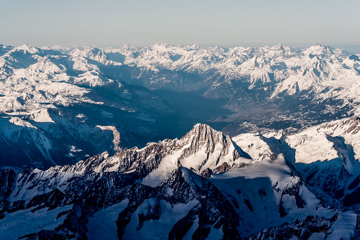
Aerial view of Eiger mountain of the Bernese Alps

Eiger (3967 m)

Aerial view of the Bietschhorn mountain and the Rhone valley behind

Bietschhorn and the Rhone valley (Valais)
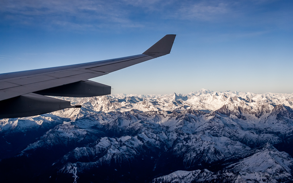
Aerial view of Matterhorn and Mont Blanc mountains in the Alps with wing

Matterhorn and Mont Blanc right under the wingtip

Aerial view of Matterhorn and Mont Blanc mountains

Matterhorn (4478 m) and Mont Blanc (4810 m)
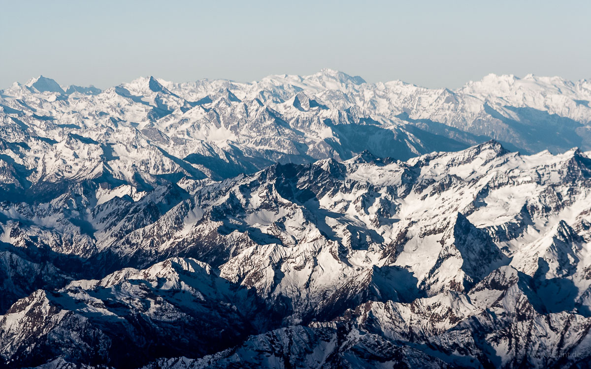
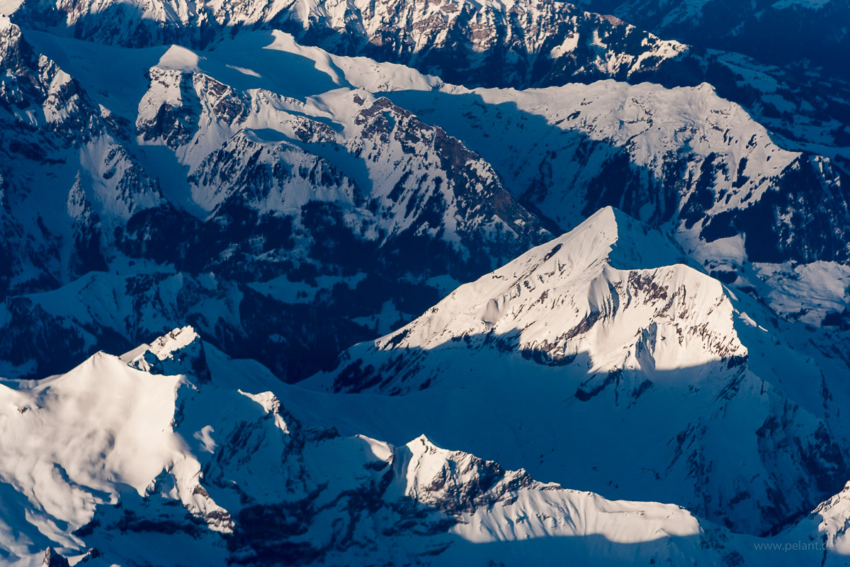
Aerial view of Alps mountains

Alps

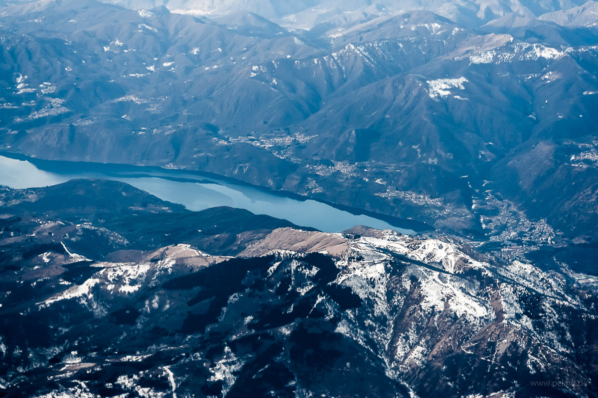
Aerial view of Lake Orta

Lake Orta

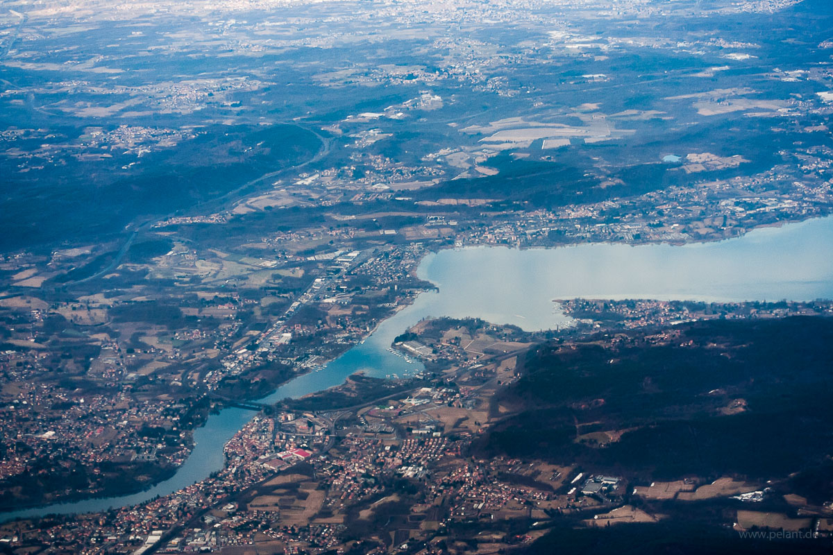
Aerial view of Sesto Calende at the southern tip of Lago Maggiore

Sesto Calende at the southern tip of Lake Maggiore
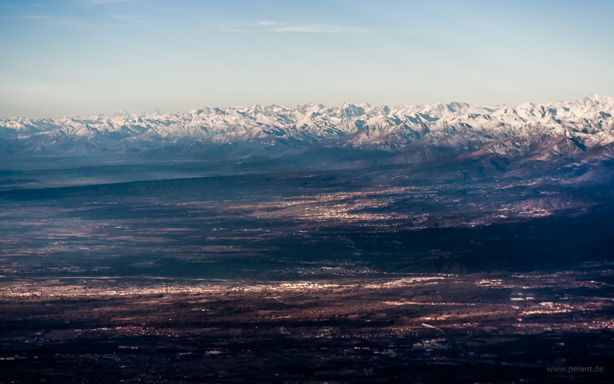
Aerial view of the Alps mountains from South
view of the Alps mountains from South

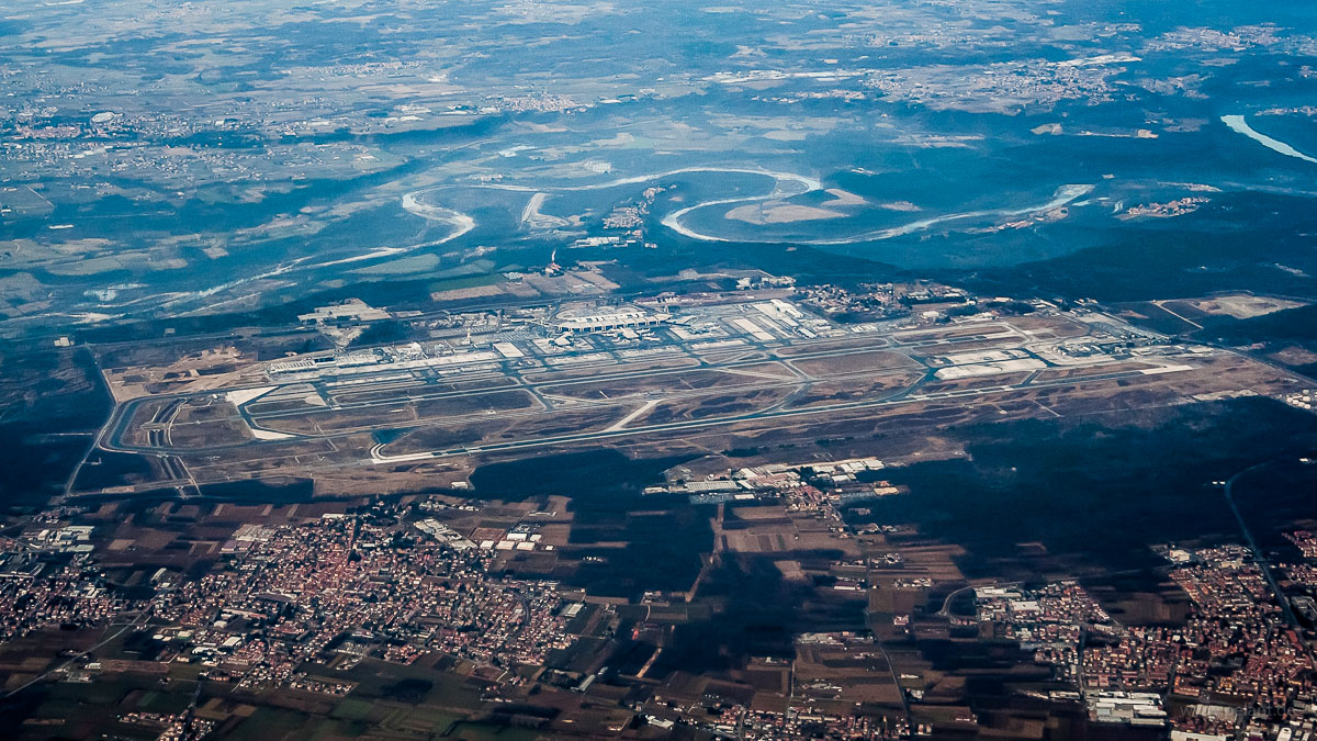
Milan–Malpensa Airport aerial view

Milan–Malpensa Airport

The river behind the airport is the Ticino (Latin Ticinus, German Tessin). It has given the name to the Swiss canton of Ticino.

Aerial view of Vigevano

Vigevano

Vigevano is located approx. 30 km southwest of Milan. In 218 BC, the first battle on italian ground of the Second Punic War, the Battle of Ticinus, happened close to Vigevano.
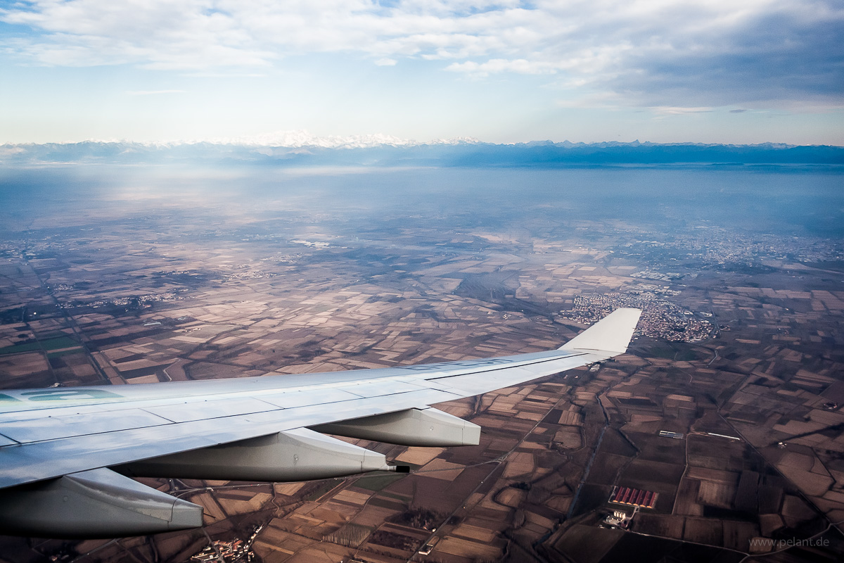
Aerial view of the Po Plain with the Alps mountains in the background

View over the Po Plain of the Alps
during a right turn to final approach to Milan-Malpensa airport.
Partly obstructed by the wingtip is the municipality of Gambolo', approx. 5 km south of Vigevano, which is visible behind it.

Aerial view of Tromello, Italy

Tromello

AZ1019, 29.02.2012

Views of the lakes at the edges of the Alps mountains in northern Italy shortly after departure from Malpensa:
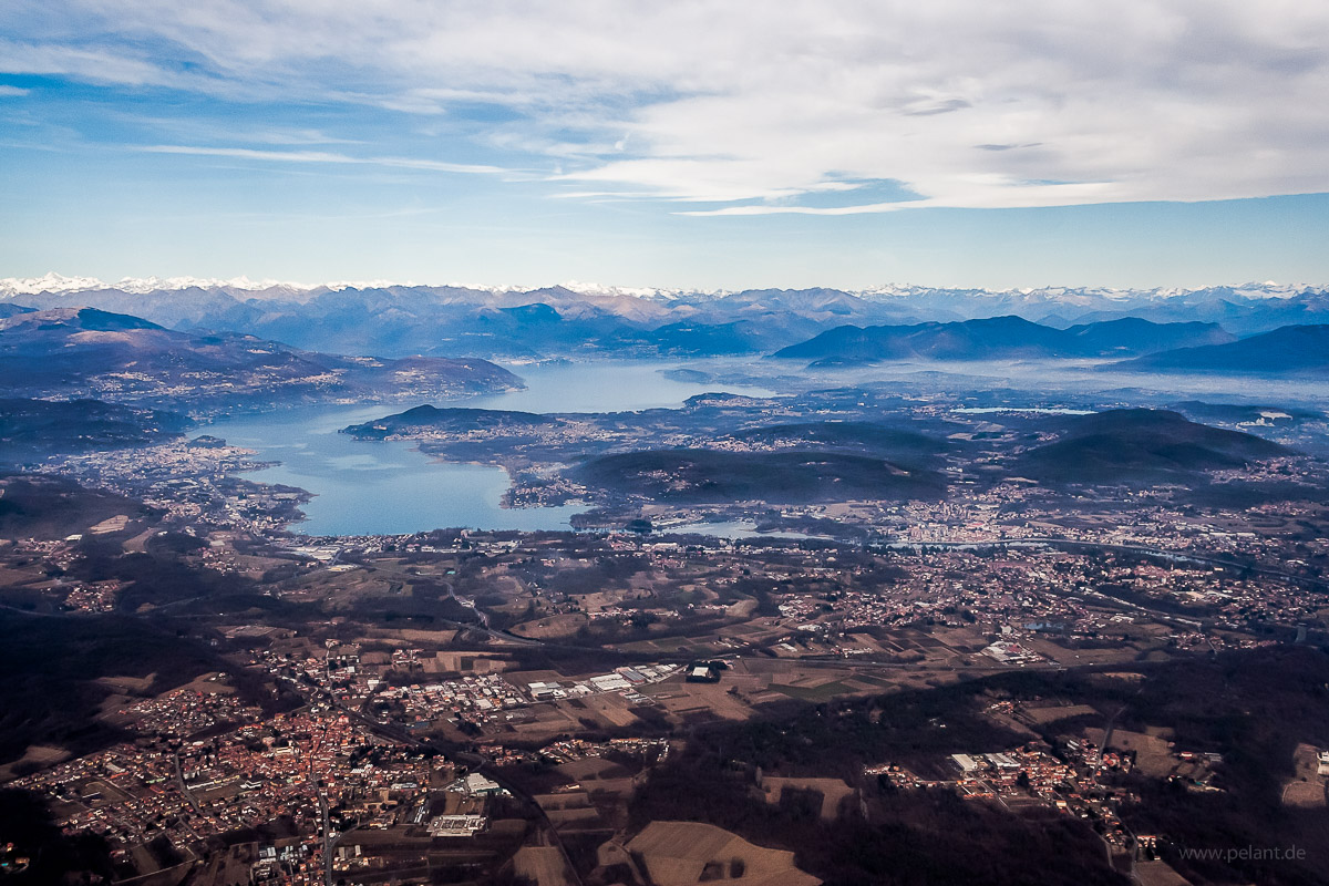
Aerial view of Lago Maggiore from South

labels ON labels OFF
Lago Maggiore from South
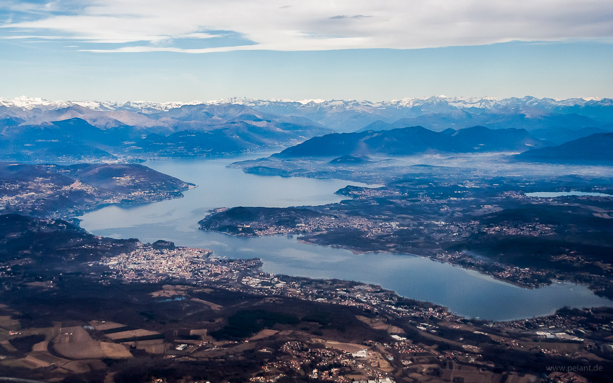
Aerial view of Lago Maggiore with Arona

Lago Maggiore

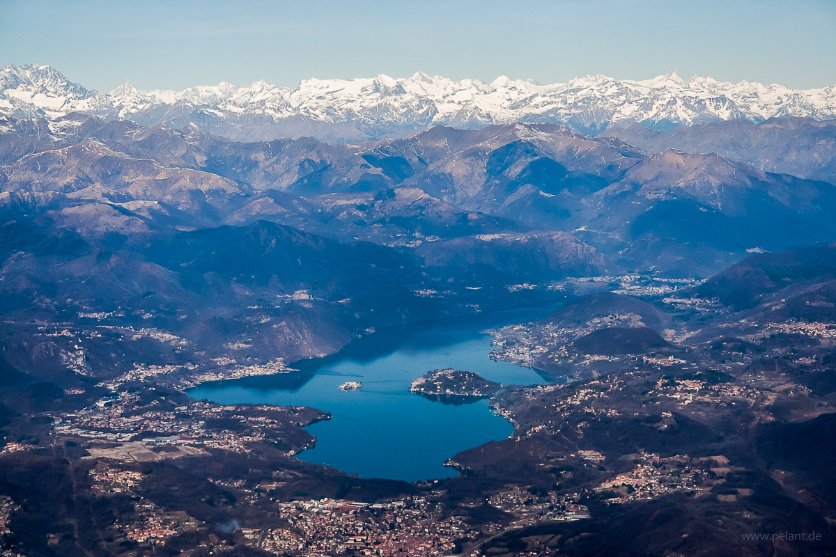
Aerial view of Lake Orta with Alps mountains from South

Lake Orta

published on 2018-03-15

Alps

categories: aerial view | travel

change symbol

The following area of the page contains elements necessary to display enlarged images (lightboxes) and should NOT be visible. If you can read this, either the corresponding stylesheet file (css) hasn't finished loading yet or your browser is outdated or misconfigured.
view from the plane of Alps mountains and Monte Rosa, with Boeing 767-400ER wing with raked wingtips

<>X

aerial view of a valley in the Alps mountains

<>X

aerial view of the Alps mountains, snow covered summits with clouds

<>X

aerial view of the Alps

<>X

Aerial view of the Mont Blanc

<>X

view from an airplane of the dawn with an A330 wing

<>X

Aerial view with A330 wing of the <i>Jura</i> Mountains with Lake Bienne, Lake Morat, and Lake Neuchâtel over the wing to the left

<>X

Aerial view of Jura Mountains between Grenchen and Moutier

<>X

Aerial view of Lake Thun with Niederhorn and Sigriswilgrat

<>X

Aerial view of Dreispitz and Schwalmere mountains of the Bernese Alps

<>X

Aerial view of Eiger mountain of the Bernese Alps

<>X

Aerial view of the Bietschhorn mountain and the Rhone valley behind

<>X

Aerial view of Matterhorn and Mont Blanc mountains in the Alps with wing

<>X

Aerial view of Matterhorn and Mont Blanc mountains

<>X

Aerial view of Alps mountains

<>X

Aerial view of Lake Orta

<>X

Aerial view of Sesto Calende at the southern tip of Lago Maggiore

<>X

Aerial view of the Alps mountains from South

<>X

Milan–Malpensa Airport aerial view

<>X

Aerial view of Vigevano

<>X

Aerial view of the Po Plain with the Alps mountains in the background

<>X

Aerial view of Tromello, Italy

<>X

Aerial view of Lago Maggiore from South

<>X

Aerial view of Lago Maggiore with Arona

<>X

Aerial view of Lake Orta with Alps mountains from South

<>X